
Hamilton Township Neighbors: Block Record Coverage
For Hamilton Township neighbors, begin by asking which parcels touch or closely surround the target parcel. New Jersey parcel data is strongest for geometry and identifiers. Hamilton tax maps identify map sheets and block-and-lot context. Mercer County’s index supplies recorded party and instrument information. These are complementary records with different limits, especially where Daniel’s Law requires redaction.
| Block source | What it shows around an address | Lawful access |
|---|---|---|
| New Jersey GIS parcels | Approximate parcel geometry, municipality, block, lot, and PIN or PAMS context | Public parcel-data route with protected-owner redaction |
| Hamilton tax maps and Assessor | Map sheet, assessment context, and address or block-and-lot research path | Map index online; current cards through the municipal office |
| Mercer Official Records Search | Recorded instrument, date, legal description, and party role for a parcel | Public index, records room, or identified copy request |
| Hamilton election maps | Election-district geography for an address | Public map, not a roster of people on the block |
| Hamilton Neighborhood Watch | Community safety meetings and resident-police contact route | Public program information, not a membership directory |
An owner named in a deed is not necessarily a neighbor, a current occupant, or the person who uses an address. A lender, trustee, attorney, executor, or easement holder may appear in the same property chain. Treat every name as a documented role within a dated record.
Note: Parcel geometry helps identify nearby land, but a road, stream, easement, or common tract can interrupt actual adjacency.
Define Hamilton Township Neighbors as Adjacent Parcels
Use the New Jersey GIS parcel-data route to orient the address by county, municipality, block, lot, and parcel geometry. The PIN corresponds to PAMS. Parcel polygons are viewing aids, not legal boundaries or surveys, and they can edge-match imperfectly near county lines. Where the public map redacts an owner, that boundary is deliberate.
Next, open the Hamilton map index for the tax-map sheet and related road, zoning, flood-prone, and election-district maps. Record the sheet number and year. A consistent block-and-lot reference is more durable than a postal label, which can vary near the municipal boundary.
Hamilton Township neighbors can be described carefully as left, right, front, rear, or nearby parcels only after the geometry is checked. A condominium, accessory parcel, common tract, or mailing-only unit can share a street number without being a separate household.
Map a Hamilton Township Block From One Address
The adjacent-parcel method begins with the target parcel and expands only to its map neighbors. It avoids turning a whole district into a speculative list. Use a blank worksheet or research notes, not a publicized roster, for the parcel keys and source references.
- Standardize the street address with USPS, then confirm that the legal municipality is Hamilton through a tax map, GIS record, or Clerk record.
- Find the target parcel’s map sheet, block, lot, and PIN or PAMS identifier in the GIS and tax-map materials.
- Identify the parcels that touch the target geometry. Note any road, stream, easement, or common tract that makes the relationship uncertain.
- Search each known block and lot in the Mercer Official Records Search, then read the document type, party role, legal description, and date.
- For a full named-street record trail, use the Hamilton Township street directory rather than extending a block search beyond its purpose.
The Mercer index supports town, lot, block, legal-description, party, date, instrument, and book-and-page searching. A record may carry a correction flag or replacement flag, so locate the related instrument before treating a party or legal description as final.
Hamilton Township Neighbors Four-Sides Parcel Worksheet
A small four-sides table keeps the research tied to parcel facts rather than assumptions about people. Fill it only from the displayed map and an identified record. “No result” should remain a search result, not a claim that nobody is connected to a parcel.
| Parcel position | Record before adding a name |
|---|---|
| Target parcel | Street address, map sheet, block and lot, PIN or PAMS, and source date |
| Left or right parcel | Adjacent geometry, block and lot, last recorded deed date, and instrument reference |
| Front or rear parcel | Road or common-area relationship, map-sheet reference, and legal-description check |
| Nearby parcel | Why it is nearby rather than adjacent, plus the map and record source |
Read the deed role before assigning meaning. A grantee receives a recorded interest, while a grantor transfers one. Mortgages, releases, assignments, liens, easements, and tax-sale instruments can document a property event without identifying either an owner or occupant at a later date.
Hamilton Township Maps, Permits, and Block Projects
The Hamilton Tax Assessor provides tax rates, forms, and tax-map access; current property-card research belongs with the municipal office. Mercer’s Property Information Portal is closed to ordinary public access under Daniel’s Law. The Assessor, tax maps, and Mercer County Clerk remain the lawful alternatives for a narrow, record-specific question.
Address-based construction files can add a project timeline. Hamilton Construction and Inspections uses address, ZIP, block, lot, proposed work, permit number, and approval information. The Construction and Inspections route can direct a request for a permit or inspection history by exact address and block and lot. An applicant or agent is not automatically the resident or owner.
For public project context, the Hamilton Agenda Center can be searched by date, category, and address or project terms. Planning Board, Zoning Board, Environmental Commission, and Council materials may name applicants, witnesses, or representatives. Label that public role precisely rather than treating a meeting appearance as a location claim.
Note: Request a defined permit, inspection, certificate, or agenda item and accept redactions required by the applicable custodian.
Hamilton Township Neighbors Community Routes
Hamilton Township does not provide a public association or household roster for a block. The documented community routes below help with public meetings, civic roles, and historical orientation without implying membership or residence. They are useful ways to ask about a program, a public appointment, or local place history.
| Official community route | Documented role | How it helps |
|---|---|---|
| Hamilton Neighborhood Watch | Spring and fall crime-watch meetings connecting residents and police | Community safety contact, not a member list |
| Hamilton Boards and Commissions | Public board and commission appointments, including Planning, Zoning, Environmental, Library, and Shade Tree bodies | Public civic-role context only |
| Hamilton Library | Local-history orientation, old road names, family names, clippings, and finding aids | Historical spelling and place research, not current-person verification |
The library’s local-history contact can help identify whether an older road, village label, or publication is cataloged for onsite use. Hamilton’s historic labels include Nottingham, Mercerville, and Hamilton Square, which may appear in records where the modern municipal name does not.
Hamilton Township Neighbors: Official Records and Commercial Search Categories
Official records and commercial neighbor-search categories answer different questions. An official source can identify its custodian, date, record type, and disclosure limits. Commercial tools may combine data from multiple sources, but their age, matching logic, and provenance may be unclear. Neither category turns a name into proof of current presence.
| Source category | Useful strength | Limit to retain |
|---|---|---|
| Official parcel and tax map | Geometry, municipality, map sheet, and parcel identifiers | Approximate polygons and possible protected-owner redaction |
| Official land-record index | Recorded instrument, party role, legal description, and date | Party to a record is not automatically an occupant |
| Official election map | District geography for an address | Not a block roster and does not expose protected identifiers |
| Commercial neighbor-search category | May offer broad, changing contact leads | May be stale, mismatched, incomplete, or unclear about source dates |
Use a commercial lead only as a question to verify with an official custodian. Keep the record date and role in the result, and do not combine fragments to work around an official redaction.
Hamilton Township Neighbors Insider Tip: Use Property Alert for Your Own Parcel
Mercer County’s free Property Alert allows an account to watch qualifying real-property filings by municipality, block and lot, legal description, or party name. It can cover occupied or vacant land. When choosing a party alert, test name variants such as a middle initial and full middle name because one spelling can miss another.
The Property Alert FAQ states that verification generally takes five to seven business days. A document can be missed when it lacks a legal description or party name, and an alert cannot stop a filing that qualifies for recording. Verify any concern with the Clerk, counsel, or law enforcement rather than relying on an alert alone.
The official FAQ is shown below as a Hamilton Township neighbors interface illustration.
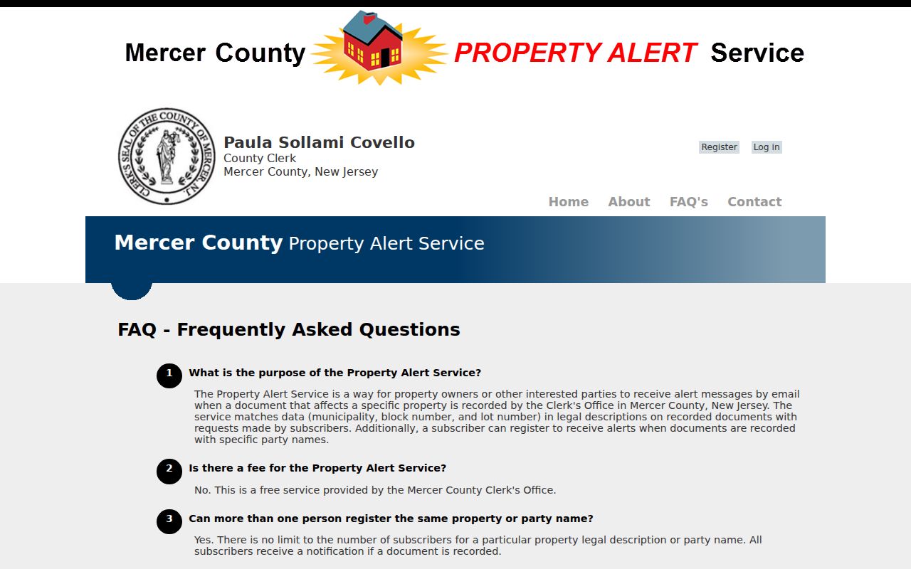
The capture explains the service limits. It is not an alert result or an instrument image.
The Property Alert landing page shows the county’s official registration route.
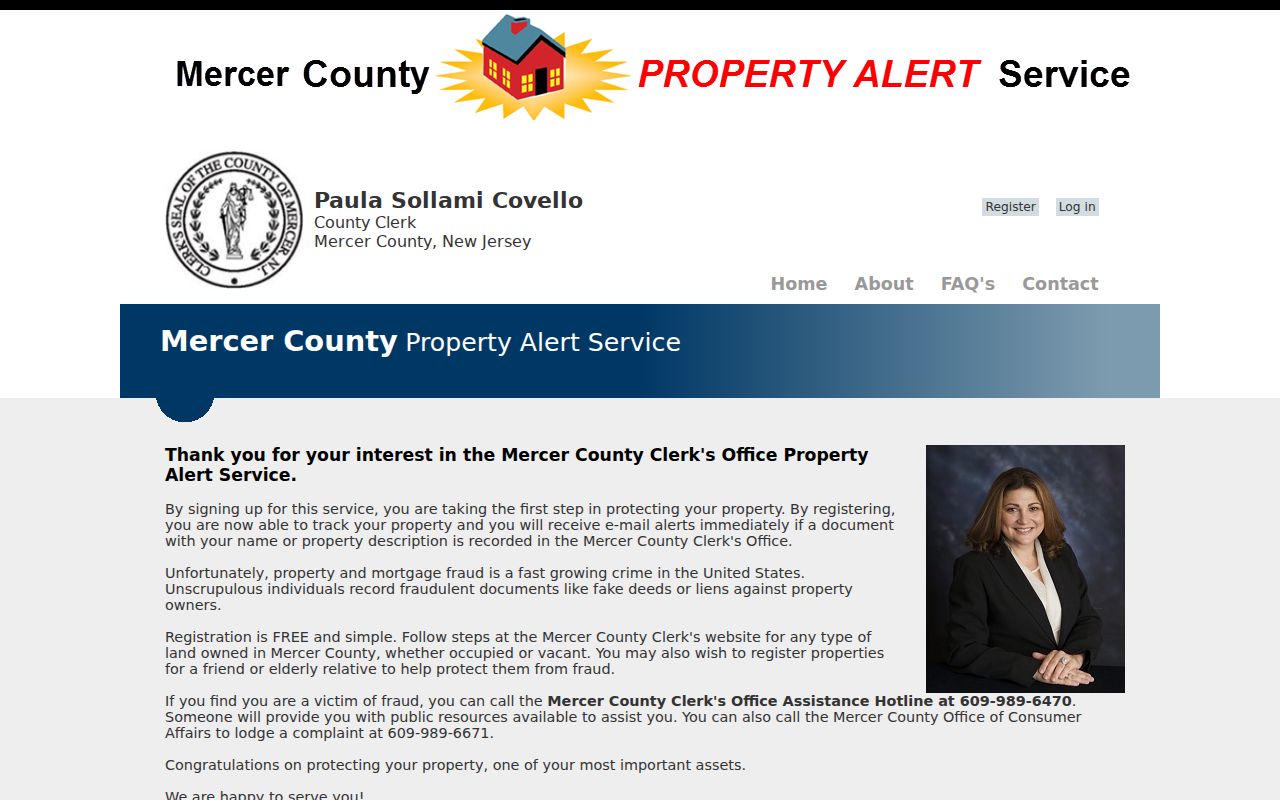
Use the service for a parcel connection that is already known. It does not create a neighborhood directory or a complete fraud-prevention system.
Hamilton Township Neighbors Myth: An Election Map Is Not a Roster
Hamilton election-district maps can connect an address to district geography. They do not identify everyone on a block, prove that a person currently lives at an address, or authorize publication of voter details. Registration can change, become inactive, use a protected address, or reflect a mailing arrangement.
For a specific election-record question, contact the Hamilton Municipal Clerk, Mercer County Clerk, or State Division of Elections with the election year, municipality, district, and record type. Ask the custodian to apply statutory redactions. Voter signatures, Social Security information, driver-license information, non-driver identification information, and other protected fields must not be reproduced.
Privacy Limits for Hamilton Township Neighbors
New Jersey’s Address Confidentiality Program provides substitute-address protection for eligible participants. Daniel’s Law protects covered judicial officers, law-enforcement officers, prosecutors, child-protective investigators, and immediate family under the statutory scheme. Mercer’s public Property Information Portal closure and redacted GIS owner information are practical signs of those protections.
OPRA, N.J.S.A. 47:1A-1 et seq., does not override protected information. Court access uses Rule 1:38, and court, vital, and election records have their own access limits. Do not use older deeds, maps, directories, cached pages, or social posts to reconstruct a protected home address. An ordinary parcel search must stop at a lawful redaction.
Lawful use. Hamilton Township neighbors research is for personal, lawful block context, reconnecting, historical research, or community awareness. Never use a record or map to stalk, harass, intimidate, or harm anyone.