
Hamilton Township Street Searches Begin
For a Hamilton Township street search, keep the postal address and the legal parcel trail separate from the first click. USPS can standardize a suffix, city, unit, and ZIP, while the tax-map and GIS records establish the municipality, map sheet, block, lot, and PIN or PAMS identifier. That parcel key then makes a deed, assessment, permit, or public project record easier to compare. A recorded party is not automatically the current occupant. Likewise, an old directory entry is evidence of a dated listing, not proof that a person still lives there.
- Enter the complete address in the USPS lookup and save the standardized street form, postal city, state, and ZIP.
- Use Hamilton Township maps and New Jersey GIS to confirm the municipality, map sheet, block, lot, and parcel orientation.
- Ask the Tax Assessor for the relevant property card or tax-map reference by address or block and lot.
- Search Mercer Official Records with town Hamilton, then lot, block, legal description, date range, or party fields as needed.
- For a dated household clue, consult the historical directory repositories and test Hamilton Square, Mercerville, or Nottingham as well as the modern label.
Election district maps can help place an address in a district. They are not a list of everyone on the street, and voter identifiers and signatures remain protected. For a narrow public-record request, identify the record type, the exact address, a date range, and the likely custodian before using the Hamilton OPRA route.
Hamilton Township Street Directory Fields
The Hamilton Township street directory is strongest when each source is asked for the fields it actually keeps. An address can be a delivery location, a situs address, or a phrase in a legal description. NJ GIS Parcels gives the parcel geometry and identifiers. The Hamilton tax office uses the address and block and lot route. Mercer Official Records carries the recorded-instrument trail, so a street may appear in the legal description rather than in a party-name result.
| Record system | Available search fields | What the result supports | Limit to retain |
|---|---|---|---|
| USPS ZIP Lookup | Street, apartment, city, state, ZIP; city/state and cities-by-ZIP modes | Standardized delivery address and postal city | Does not confirm a person or company |
| NJ GIS Parcels | Address, county, municipality, block, lot, PIN/PAMS | Parcel geometry and identifiers | Not a survey; protected owner names can be redacted |
| Mercer Official Records | Town, lot, block, legal description, party, dates, instrument, book/page | Recorded land instrument and party chain | A party can be a lender, trustee, or attorney |
| Hamilton permits | Address, ZIP, block, lot, permit number, proposed construction | Permit and inspection chronology | Applicant is not necessarily an occupant |
A parcel is the tract identified in the tax and mapping system. A situs address is the physical location used for the parcel, which can differ from a mailing form. A plat or tax map shows mapped parcel relationships, but it does not replace a deed or survey. A criss-cross directory is a historical volume arranged by street or address instead of surname, useful for a dated address clue.
Hamilton Township Street Assessment Route
The Hamilton Township Tax Assessor provides tax rates, appeal and form resources, and tax maps. Current property cards and assessment records belong to the municipal-office route, using an address or block and lot. The state property transparency search also uses location or owner, block and lot, assessed land and building values, prior-year taxes, and classification. Tax lists are filed in January, so a later ownership change may not appear in the same assessment cycle.
Use the assessment record as an annual property snapshot. It can anchor the map sheet, classification, and values to a parcel and tax year, but it is not a substitute for title evidence. Mercer’s ordinary public Property Information Portal is currently closed because of Daniel’s Law. That closure makes the Assessor, tax maps, state parcel data, and the County Clerk the documented alternatives rather than a reason to infer protected information from unrelated sources.
The Hamilton Township Tax Assessor page shows the municipal starting point for tax maps and assessment requests.
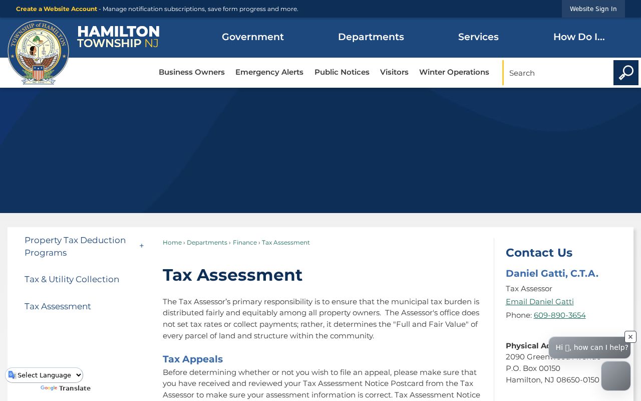
Use the page to begin a focused address or block-and-lot inquiry, then retain the tax year and map-sheet reference with any later deed or permit result.
Hamilton Township Deed Index by Street
Mercer Official Records Public Search is the recorded-land route for a Hamilton Township street directory search. Begin with town Hamilton and the known block and lot when possible. If results overlap, compare the legal description, street or municipality language, and instrument date. The portal can filter by party, document type, date range, consideration, instrument number, book and page, block and lot, and legal description. Its help also describes standard, advanced, legal, and map-search routes.
| Party | Use the portal’s Last-Name First-Name form without commas, then test a company or name variant where relevant. |
|---|---|
| Document and date | Choose the document type from the picker and use From and To dates in MM/DD/YYYY format. |
| Legal parcel path | Select town and add lot, block, legal-description text, or an instrument and book/page reference. |
| Result review | Record the type, instrument number, date/time, book type, party role, and any available image or detail link. |
The County Clerk keeps records affecting Mercer property from the county’s 1838 creation. Researchers may inspect the index and request identified copies online, in the Records Room, or by mail after locating an instrument. Staff can explain the computerized index but do not conduct a title search. A regular deed-copy fee and other recording fees should be confirmed with the Clerk before mailing because the fee schedule varies by document type.
The Mercer Official Records search is the source shown here for land-record fields and document-detail review.
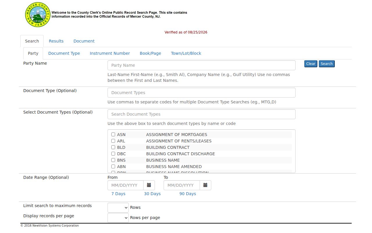
Copy the party role and record flag exactly. Asterisks mark an unverified party status in the county system, while R marks a replacement and C a correction, so those flags can change how a match is read.
Hamilton Township Street Permit Timeline
Hamilton Township Construction and Inspections adds a dated address layer. The Construction and Inspections division issues permits and conducts inspections for construction, additions, alterations, demolition, and related work. Its EZ Permit form contains the zoning permit number, name, date, situs address, ZIP, block, lot, proposed construction, size, remarks or conditions, survey or plot-plan material, certification, and approval date.
A permit establishes that an application or approval was tied to an address and time. It does not establish that the applicant lived at that address. For written material, request the permit file or inspection history by exact address and block and lot, ask for releasable attachments, and use a narrow date range. Hamilton’s published permit guidance also says an outside property owner may receive verbal permit status, but the underlying record is still a different question from an occupancy claim.
The Hamilton Township construction page identifies the permit and inspection access channel.
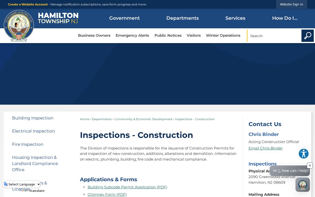
Pair a permit number and approval date with the parcel record, then keep proposed work and recorded ownership in separate evidence columns.
Hamilton Township Historic Street Labels
Older street material may not use the present municipality name. Hamilton Township was Nottingham until 1842, and township history identifies Nottingham, Mercerville, and Hamilton Square as historic local labels. Test each label with the street name, a former suffix, a rural route, or a farm name when a modern address search fails. A block and lot is often the steadier key when a street number changed, a parcel split, or a postal city shifted.
For historical address work, the Trenton Historical Society’s 1920 directory index includes a Mercer County outside-Trenton category, rural free delivery, and farmers. The Hamilton Library, Trenton Public Library, State Library, and Historical Society are documented repository paths for directory volumes, finding aids, scans, microfilm, or supervised shelf access. Record the volume, page, publisher, year, spelling, and street form before comparing it with a tax map or deed.
The 1875 Everts and Stewart Mercer atlas sheet can supply a farm, landowner, or road-alignment clue. The Library of Congress Sanborn material is organized around a 1927 Trenton volume that lists Hamilton as a secondary location, not as a complete standalone Hamilton set. These maps are historic context only. Verify a landowner label through the dated deed trail before treating it as ownership.
Note: A missing directory listing can reflect compilation lag, an unlisted number, a rural route, a spelling variant, or no entry at all.
Hamilton Township Street Tip: Parcel First
Insider tip. When a postal form, street spelling, or village label conflicts, start with the Hamilton Township parcel rather than choosing the most familiar postal city. New Jersey GIS parcels use address, county, municipality, block, lot, and PIN or PAMS concepts. Their polygons are viewing tools, not legal boundaries, and can be imperfect at county edges. Still, the identifier gives a better bridge to a tax map, deed legal description, or permit request than a name-only search.
This also explains why the closed Mercer Property Information Portal should not be treated as a dead end. Use the public map and parcel sources for geometry, then the Assessor or Clerk for the narrow record needed. Protected owner names may be redacted under Daniel’s Law. Stop there rather than trying to rebuild a protected address from an old map, directory, or unrelated public mention.
Hamilton Township Address Records Along Streets
Several Hamilton Township records are keyed to an address, but they answer different questions. Property sources identify the parcel and annual assessment. Mercer records identify a recorded instrument and its parties. Construction files date work at a location. Agenda packets and public meetings can place an applicant or project at an address, but an appearance in public business is not proof of residence. Treat every row as evidence with its own date, purpose, and access route.
| Address-keyed source | Custodian | Useful result | Access channel |
|---|---|---|---|
| Tax map and property card | Hamilton Township Tax Assessor | Address, block/lot, classification, tax year, map sheet | Tax-map page and municipal-office request |
| Parcel GIS | New Jersey GIS / township maps | Geometry, municipality, block/lot, PIN/PAMS | Online viewer and map sheets |
| Recorded instruments | Mercer County Clerk | Party, type, date, legal description, instrument, book/page | Online index, Records Room, or identified-copy request |
| Permits and inspections | Hamilton Construction and Inspections | Permit number, work, block/lot, approval and inspection history | Office inquiry, verbal status where applicable, or narrow request |
| Historic directories and maps | Library and archival repositories | Dated street listing, place label, road or landowner clue | Repository shelf, scan, microfilm, or research request |
A street-by-street search is most useful as a comparison record. It can lead from a standard address to a parcel, then to a dated instrument or historical listing. It cannot turn every address-linked document into a full household roster.
Hamilton Township Street Myth: Owner Equals Occupant
Myth. A name attached to a parcel always identifies the person living there. A deed may name a grantee, grantor, mortgagee, assignee, trustee, executor, attorney-in-fact, lien claimant, or easement holder. A tax list can lag a transfer. A permit can identify an applicant, agent, or owner certification. Each is a real record, but none automatically proves a current household relationship.
Read the role, instrument purpose, and date before making a narrow conclusion. An easement or right-of-way may name an adjoining owner, utility, municipality, or trustee because of a land relationship. A tax-sale event reflects a legal process. For current address questions, confirm municipality, parcel, and the custodian’s record date. For a historical household question, retain the directory year and source repository.
Hamilton Township Street Directory Limits
Some information is not available for a street search, and public availability has boundaries. New Jersey GIS can redact protected owner names. The state and municipal record routes protect personal identifiers and other exempt material. Election records have separate disclosure limits, and an election district map does not identify every resident in that area. Utility, court, and other records follow their own custodians and access rules. Use Hamilton Township OPRA for a specific municipal record, while court records follow Judiciary procedures rather than OPRA.
Lawful use. Use Hamilton Township address records for lawful personal research, property history, family history, civic context, or a focused records request. Do not use them to stalk, harass, intimidate, or harm anyone, and do not try to reconstruct a protected address.
Note: Preserve the record date and office name with each result, because a map, assessment, deed, permit, and directory can describe different moments.